
Elevate Your
Perspective
DroneScape delivers world-class aerial solutions. From professional photography to crop spraying and other agricultural needs, powered by cutting-edge technology and expert pilots.
What We Offer
Our Services
From cinematic video to precision data collection — every DroneScape service is delivered with professional-grade equipment and expert pilots.
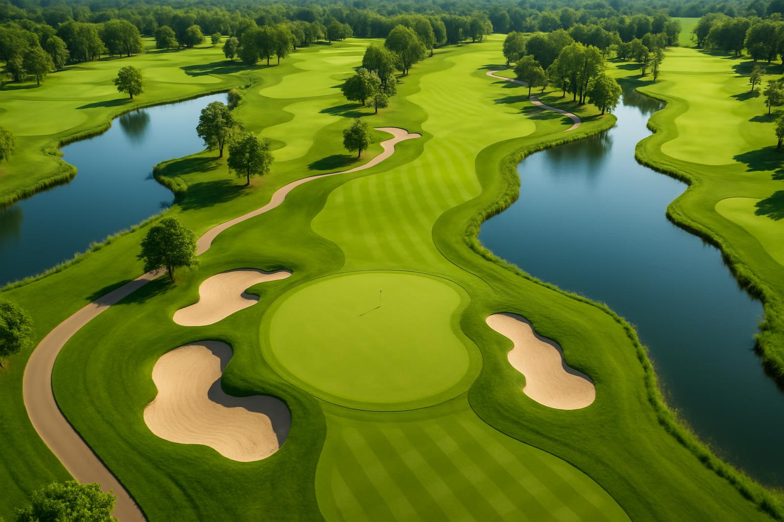
Yardage and Green Book Mapping
Detailed golf course mapping for accurate yardage, strategy, and green contour insights.
Turf health Monitoring and Land Assessment
Uses aerial data to analyze turf condition, stress, and overall land health.
Aerial Surveying and Land Mapping
High-resolution aerial data collection for accurate mapping, measurements, and terrain analysis.
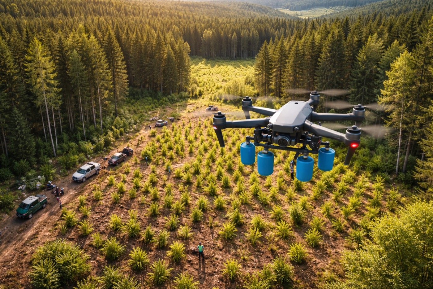
Precision Agriculture and Crop Spraying
Targeted spraying and monitoring to optimise crop health, yield, and resource efficiency.
Why DroneScape
Precision. Quality.
Results.
We combine the finest drone hardware with deep technical expertise and creative vision. Every mission is planned meticulously and executed with zero compromise.
SACAA Certified
Fully compliant with SACAA regulations, ensuring safe, legal, and professional drone operations.
Advanced Technology
We use cutting-edge drone technology to deliver accurate data and high-quality results.
Efficient & Cost-Effective
Our solutions save time, reduce costs, and deliver faster results than traditional methods.
Fully Insured Operations
Complete peace of mind on every project
Engineered for Results
Built to deliver high-quality results
Ready to take flight?
Tell us about your project and we'll craft a custom aerial solution that exceeds your expectations.
Start Your Project